 We started at the trail head with beautiful warm sunny weather.
 After hiking the connector trail through a nice field of flowers under the Snowbowl ski lifts, we reached the actual trail for Humphreys Peak.
 Bree signed the log book for the group.
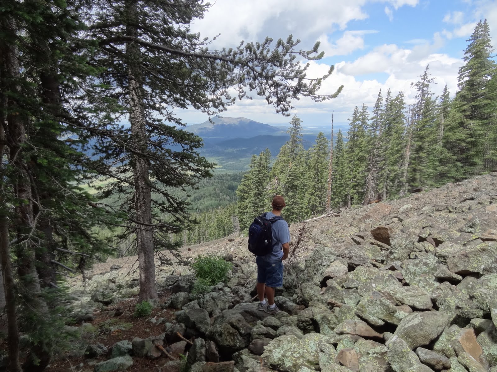 One of my favorite landmarks up the trail is the big field of boulders from a rock slide. It's about 1/3 of the way up and a nice place to stop for a snack. Plus it has some spectacular views. I enjoyed this spot more today than I did in June when it was cold and had spots of snow.
 Finally we reached the saddle. On the way up, a few people said the wind was really strong as you tried to approach the summit. We decided we would wait for Ellen to reach the saddle before heading to the summit.
 I used the waiting time to enjoy the great view.
 And then I just had to break out my hula hoop.
 Dark clouds started rolling across the mountains as I hooped it up.
 The wind picked up and it started raining.
Brian and I hid out in the "cave" a bit of a rocky outcropping that provided a nice wind break and shelter from the rain. The "cave" only had room for two, which left Bree out in the cold rain. She didn't seem to mind, as she was trying to entice a chipmunk to visit with her.
 She was successful at getting one out of hiding (the peanuts in her trail mix helped a lot with this!!)
 Finally the weather cleared up, but we decided not to risk the weather by heading to the summit. Plus, Ellen wasn't at the saddle yet when we decided to start down. We ran into her shortly after we started our descent. Brian went back up to the saddle with her and Bree and I headed back down.
 The 11,4oo' elevation sign is another favorite landmark of mine on this trail.
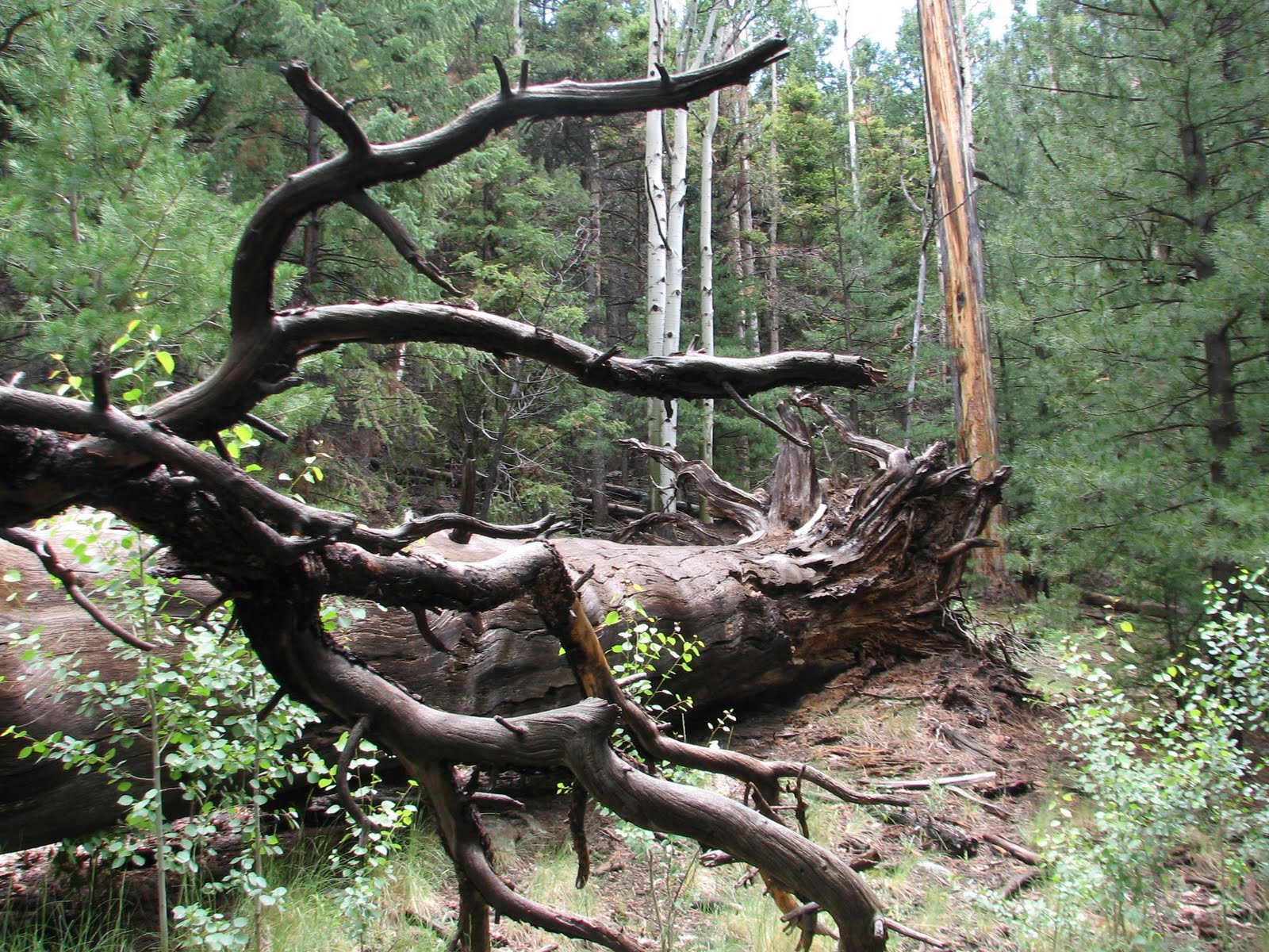
 Since we were waiting for Brian and Ellen, Bree and I took our time going back down the trail. We had fun climbing on trees, hiding in holes, and just goofing around.
 On the way up, we noticed this tree in the field of flowers and thought it would make a great place to take pictures. There were several people with the same idea, so we decided we would catch it on the way down.
 Bree and I decided to wait for the others so we could take a group picture here. While we waited, I decided to hoop for a while. It was fun hooping up and down the trail, and trying to convince other hikers that I was hooping the entire trail (rather than a 40' section near this field).
 While waiting, I was able to really enjoy all the wildflowers...
 ....and all the bugs on them!
 Bree and I waited so long that we fell asleep!
 Finally they showed up and we could take a group picture.
 As we walked across the final field, there was a spectacular shot of rain in the background, with beams of light shining between the clouds.
 We didn't see much wildlife on the hike, but Ellen spotted this deer near the road as we headed back into Flagstaff for dinner. While I didn't really get the chance to push my physical limits and use this as a training hike, all in all, it was still a fun hike with a great group of friends!
Additional photos can be found HERE.
Trail Stats:Distance Round Trip 10.25 miles
Trailhead Elevation 9320 feet
Elevation Gain 3313 feet
Avg Time Round Trip 5 - 6 hours
Trail Stats:Distance Round Trip 10.25 miles
Trailhead Elevation 9320 feet
Elevation Gain 3313 feet
Avg Time Round Trip 5 - 6 hours


