 On Sunday, the hiking group headed up to the San Francisco Peaks outside of Flagstaff to hike the Abineau / Bear Jaw Loop trail.
 The trail starts out flat and well graded, through a field full of aspen. Shortly into the hike, you can turn left to hike on the Bear Jaw trail, or right to hike on the Abineau trail. The Abineau trail is shorter, but steeper; the Bear Jaw trail is more gradual, with a few scattered ups and down. I was thrilled when the group decided to take the Abineau trail, since I would rather go up the steep trail and come down the gradual trail.
 Gaining in elevation and leaving the aspens and getting into the Douglas firs. There were lots of wildflowers along the way, including paintbrush, penstemon, columbine, and lupines.
 Butterflies and bees enjoyed all of the wildflowers.
 After a steep climb, we reached the end of the Abineau trail.
 If you look to the north (behind me), there was a spectacular view, including the Grand Canyon. It was a little cloudy (rain in the area) so the camera didn't capture how spectacular the view really was.
 At the top of Abineau trail, the "fast group" stopped to take pictures, eat a little snack, and wait for the other half of the group to catch up. I was actually in the "fast group" this time! While the others snacked, I had my own little construction project.....
 My hula hoop! The others were so busy taking their pictures and eating, that they missed me assembling my hoop, and then asked how I carried the hoop all the way up with me. Too funny! Behind me is the meadow that sits at the base of Humphrey's peak, which still has a little snow.
 I played with my hoop for a while until the first few members of the back half of the group showed up. Then it started to mist, so we decided to don our rain gear and move forward.
 We had to go about 2 miles down an old forest road to connect to the Bear Jaw Trail. During that time, the weather turned from mist, to sprinkles, to all out rain. We also heard some scary lightning cracks and loud booms of thunder. All of us joked about the wisdom of carrying our metal hiking poles.
 The rain slowed down as we entered the Bear Jaw Trail, and then stopped shortly after that.
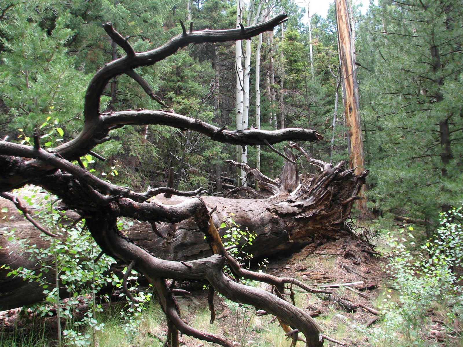 The rest of the trail was a nice gradual descent. We finished the hike in about 3.5 hours and then enjoyed a post hike tailgate party while we waited for the rest of the group to finish. All in all, it was a beautiful hike and a fun day, even if it was cold and wet.
Trail Stats:
| Distance Round Trip | 7 miles | |
| Trailhead Elevation | 8510 feet | |
| Elevation Gain | 1960 feet | |
| Accumulated Gain | 2115 feet | |
| Avg Time Round Trip | 4-5 hours (it only took us 3.5 hours, including breaks) |


