The hike started on the southwestern slope of Mount Elden, following the Elden Lookout Trail. It started with a gradual climb, but quickly became steep switchbacks, which then gave way to tall "steps" up the mountain. I was keeping a fairly decent pace until about 2/3 of the way up, and then my energy was drained (I should have eaten breakfast!!).
We finally reached the first trail junction. Do we add 0.4 miles round trip to go to the summit, or do we skip it and start the loop at the Sunset junction?
 We went to the summit!
 The lookout tower was closed to the public, but there was a sign on the base indicating that we were now at an elevation of 9300 feet.
 After enjoying the view, taking a few pictures, and having a hearty snack, we were ready to head back down and join the Sunset Trail.
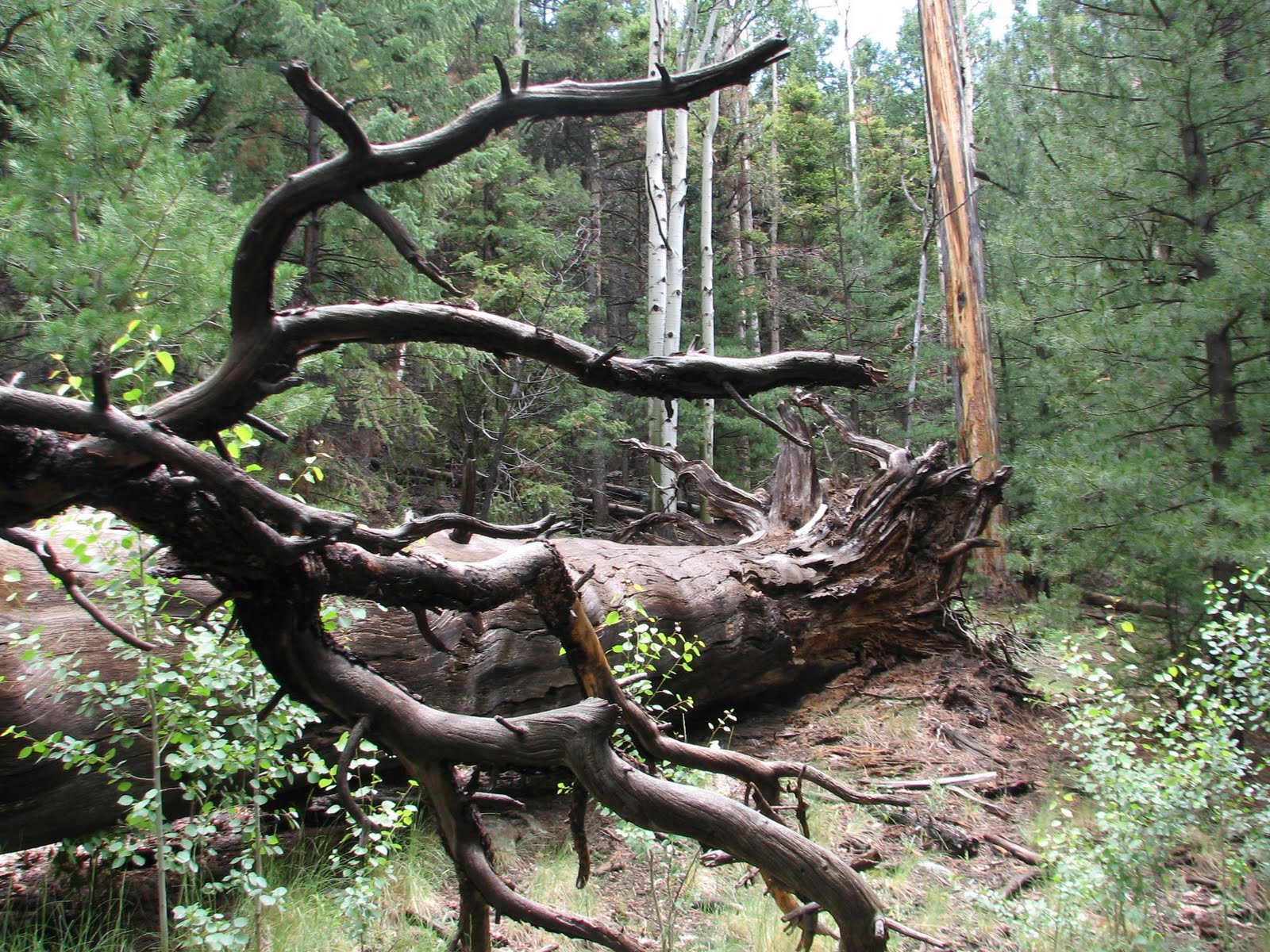
 The Sunset Trail hugged the side of Mount Elden and passed through an area that was burned by wildfires in 1977. After the strenuous climb up the the summit, it was nice to get on an easy trail, with gradual ups and downs.
 The area was filled with new aspen growth along with lots of wild flowers, although the trail was a bit overgrown in areas.
 It eventually opened into a field to the Mount Elden side.
 It provided great views of the mountains and lava fields to the east of Flagstaff, including Sunset Crater.
 Looking back on the trail towards the towers on Mount Elden's summit.
 Overlooking Flagstaff from the Sunset Trail.
 We then entered a nice wooded area. After about 1.5 miles on this trail, we came to a trail head area. We weren't sure if we missed the turn to Heart Trail. An older couple was approaching, so we asked directions. We were sternly advised to reconsider our plans to make the loop, since the Heart Trail was "treacherous and should be closed to the public". The couple offered to let us hike with them and then drive us back to our car. We decided to take our chances and assured them that we would "take it slow".
 About 0.2 miles later, we found the turn for the Heart Trail, which would take us 1300 feet down the east slope of Mount Elden.
 Looking back at the summit of Mount Elden - you can barely see the lookout tower on the summit.
 Just as we reached the Heart Trail, another hiker (coming from the opposite direction) started down the trail. We decided if he could take his life into his own hands, we could too.
 The top of the trail consisted of dozens of switchbacks along the edge of the mountain. There were steep slippery areas at each turn, followed by fairly flat areas along the length of the mountain edge. (If you click on the above picture to enlarge it, you can see Steve WAY ahead of me. He very politely stopped every so often to allow me to catch up.)
 The trail was covered in loose stones, making it quite easy to slip, slide and turn and ankle or knee. I went down at a painfully slow pace to prevent injury or sliding down the mountain. It wasn't as treacherous as the dire warning we received, but it did require some balance and careful foot work.
(I thought it was painfully slow, but the Forest Service indicates an average hiking time of 2.5 hours for this trail - it took us about half that time)
 When we were about half way down the Heart Trail, storm clouds moved in. We could see lightning in the distance and hear thunder, and we got hit with a few rain drops.
 When the red soil turned to gray (about half way down) the trail got less rocky and steep, and we could pick up the pace. That was a good thing, since it was starting to sprinkle.
We finally hit the Christmas Tree Trail, which was a nice easy trail though the woods. We picked up the pace to avoid the rain.
 Towards the end of the Christmas Tree trail, this horned toad scurried across our path. We then joined Fat Man's Pass for about a half mile back to the trail head.
Our total hiking time was just under 5 hours, which included about 30 minutes for a break at the summit and a couple of stops to talk to people along the way.
After a long hike, it was time to grab a pizza and beer to celebrate our successful hike!
Elevation change: about 2400 ft gain.
Distance: 9.5 miles for the loop hike
- From Elden Trailhead to Elden summit : 3.0 miles.
- From Elden summit to Heart trail along the sunset trail: 1.7 miles
- From Heart Trail to Christmas Tree trail: 2.5 miles
- From Christmas Tree trail to Fat Man's Pass: 1.7 miles
- From Fat Man's Pass to Elden Trailhead: 0.6 miles


